Survey / Mapping

expertise
Survey is the foundation of design.
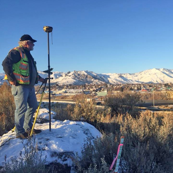
Whether we’re working directly for a public agency or serving as a subconsultant on a prime engineering contract, KPG’s survey crews are often the first and last professionals on a job. We provide all the necessary survey services to take projects from initial base mapping used for design through construction staking at the project completion. We understand many design professionals rely on our services, which is why we place great importance on being responsive. We rely on the latest technology, including robotic total stations, electronic digital levels, real-time GPS, field-to-finish field coding, and 3D laser scanners to quickly and efficiently collect data.
Surveying Services
The Survey / Mapping Team specializes in:
• Aerial Photo Control
• Alta Surveys
• Bathymetric Surveys
• Boundary Surveys
• Construction Staking
• Global Positioning Systems
• Legal Descriptions
• Right of Way Determination
• Settlement Monitoring
• Topographical Mapping
• Utility Verification & Coordination
• 3D Laser Scanning
• Aerial Photo Control
• Alta Surveys
• Bathymetric Surveys
• Boundary Surveys
• Construction Staking
• Global Positioning Systems
• Legal Descriptions
• Right of Way Determination
• Settlement Monitoring
• Topographical Mapping
• Utility Verification & Coordination
• 3D Laser Scanning

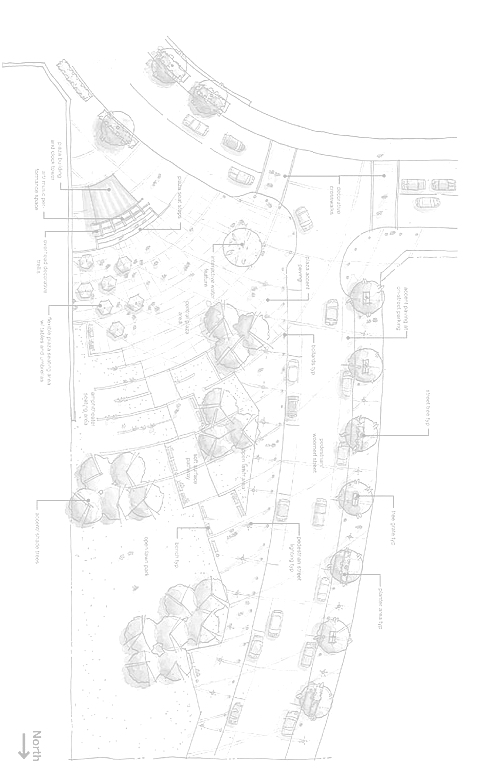
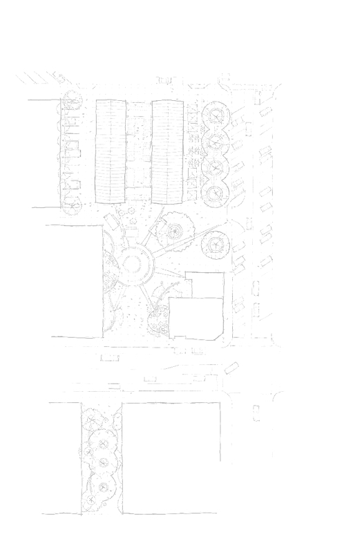
Project Types
We support a wide variety of project types, including:
• Airport Property and Runways
• Bridges
• Buildings
• Major Infrastructure Projects
• Parks
• Roadway Reconstruction
• Signals, Signing, and Channelization
• Stormwater & Sewer
• Utilities
• Airport Property and Runways
• Bridges
• Buildings
• Major Infrastructure Projects
• Parks
• Roadway Reconstruction
• Signals, Signing, and Channelization
• Stormwater & Sewer
• Utilities


